

This map shows how Ashton grew between 1795 & 1848. Click the Image to view in its full size
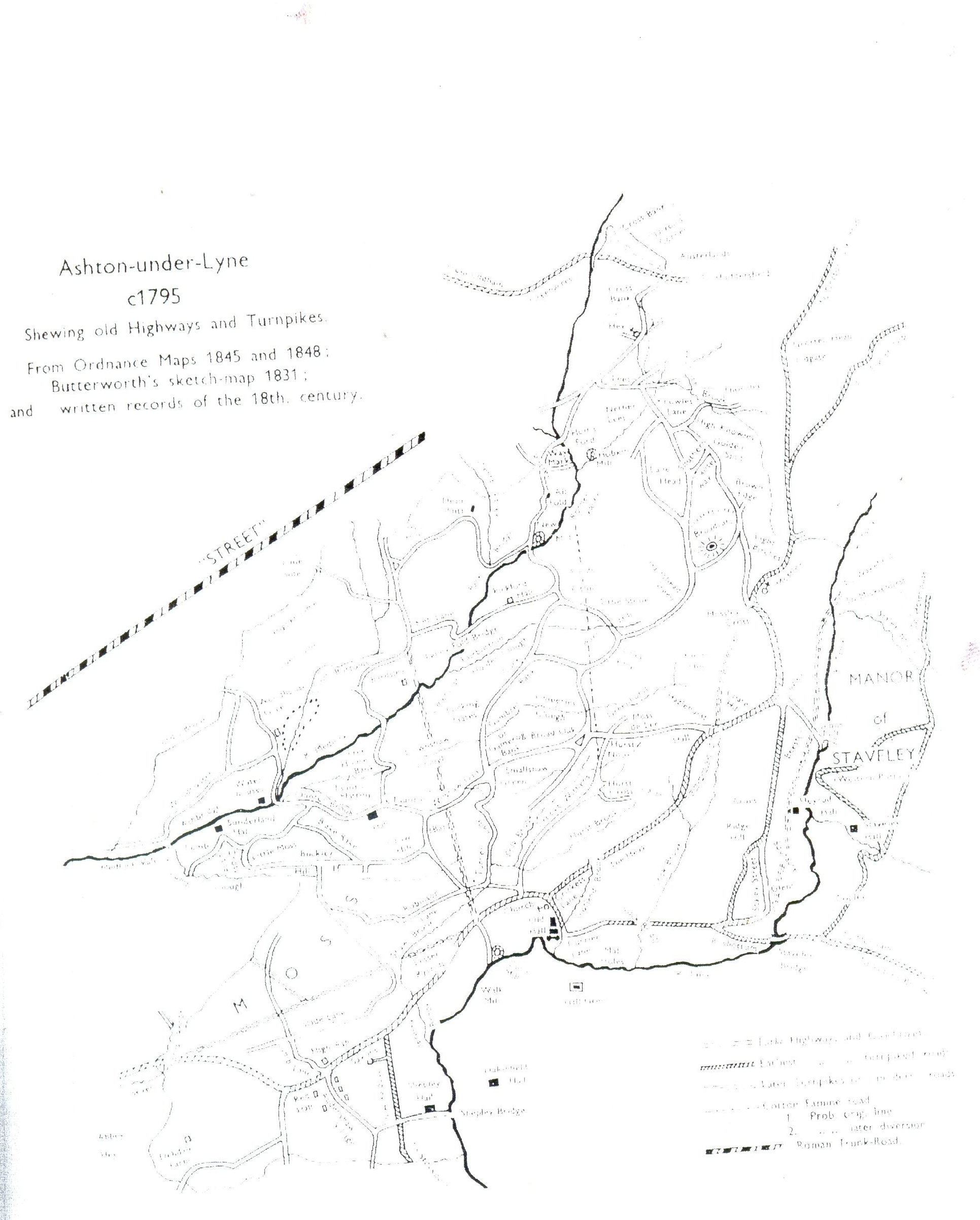
There are three maps superimposed on each other
This map shows how Ashton grew between 1795 & 1848. Click the Image to view in its full size
There are three maps superimposed on each other
©Antony Lambert